Final Environmental Statement - EWA Extension EIA - May 1st 2025
Check all documents of Final Environmental Statement - EWA Extension EIA - May 1st 2025.
Public Meeting Presentation and Handout: Draft Environmental Statement for the EIA for the East West Arterial Extension - January 23rd 2025
How to leave a public comment, Email the Environmental Assessment Board at DOE@gov.ky.
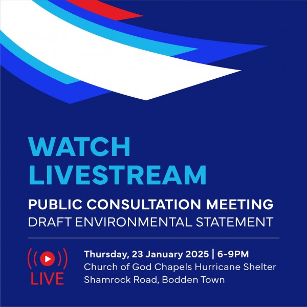
Public Consultation Meeting Draft Environmental Statement - WATCH LIVESTREAM January 23rd 2025
If you are unable to attend the public consultation meeting in person, you can still participate by watching the livestream: https://www.facebook.com/events/968767811828858
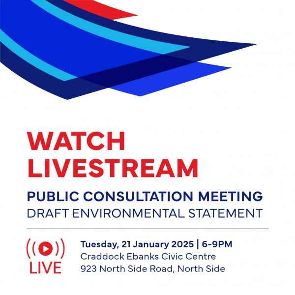
Public Consultation Meeting Draft Environmental Statement - WATCH LIVESTREAM January 21st 2025
Watch the first Draft Environmental Statement public consultation meeting live today at: https://www.facebook.com/events/626818589919627
Draft Environmental Statement – EWA Extension EIA
Check all documents of Environmental Statement – EWA Extension EIA.
National Roads Authority launches public information website for the East West Arterial EIA
The National Roads Authority (NRA) has launched a new website which allows the general public in the Cayman Islands to learn about the ongoing Environmental Impact Assessment (EIA) study underway on the East-West Arterial (EWA) road development.
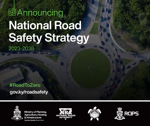
National Road Safety Strategy (NRSS)
Developed in collaboration with the Royal Cayman Islands Police Service (RCIPS), the National Roads Authority (NRA), and the Department of Vehicle and Driver's Licensing (DVDL), the NRSS charts a bold path towards eliminating road fatalities and serious injuries by 2038. This strategy ushers in a new era of road safety with a clear vision: "Safe Roads, Safe Cayman: The Road to Zero".
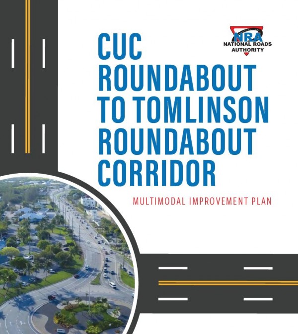
CUC Roundabout to Tomlinson Roundabout Corridor Multimodal Improvement Plan
The National Roads Authority (NRA) conducted this planning study to evaluate the benefits of potential transportation investments to reduce congestion and improve the quality of life on Grand Cayman along the heavily-travelled CUC to Tomlinson Roundabout corridor.
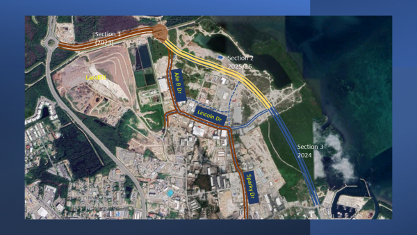
Jay Bodden Highway (Airport Road Connector)
The Airport Connector is a planned 4-lane divided, two (2) mile long highway that is to provide a direct link between the Owen Roberts Airport and the Esterley Tibbetts Highway. Section 1 of the ACR which extends from the Esterley Tibbetts Highway to Alie B Drive is complete. Section 1 costs approximately $10.2M.
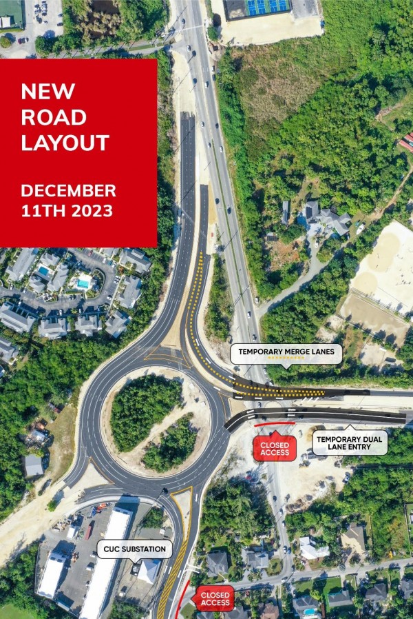
Linford Pierson Highway - Bobby Thompson Roundabout
The National Roads Authority (NRA) would like to notify the public of the opening of the new roundabout on Bobby Thompson Way on Monday December 11th 2023. From Monday, 11th December 2023, the existing roundabout on Bobby Thompson Way will be removed, shifting traffic to the larger roundabout, however, it is still an active construction site. Not all lanes will be completed, so motorists are being asked to drive with due care and attention.
